
Planetary Science Institute - 07 June 2010
Geologic Map of MTM –40277, –45277, –40272, and –45272 Quadrangles, Eastern Hellas Planitia Region of MarsA geologic mapping project using NASA spacecraft data offers new evidence that expansive lakes existed long ago on Mars.
The research points to a series of sedimentary deposits consistent with what would relate to large standing bodies of water in Hellas Planitia located in the southern hemisphere of Mars, said by Dr. Leslie Bleamaster, research scientist at the Planetary Science Institute.
Fine-layered outcrops around the eastern rim of Hellas have been interpreted as a series of sedimentary deposits resulting from erosion and transport of highland rim materials into a basin-wide standing body of water, Bleamaster said. Hellas basin, more than 2,000 km across and 8 km deep, is the largest recognized impact structure on the Martian surface, he said.
The mapping project reinforces earlier research that initially proposed Hellas-wide lakes citing different evidence in the west, he said.
- U.S. Geological Survey Scientific Investigations Map 3096
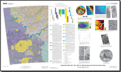
Pamphlet to accompany USGS Scientific Investigations Map 3096
New Mars Maps Show Evidence of Ancient Lakes
Universe Today - 07 June 2010
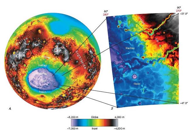
Hellas Planitia extends across about 50° in longitude and more than 20° in latitude.
From data from the Mars Orbiter LaserAltimeter (MOLA).