MISR: Where on Earth… ?
Posted: Fri Jul 29, 2011 3:57 pm
Where on Earth… ? MISR Mystery Image Quiz #25
NASA Earth Observatory | MISR | 2011 July 28
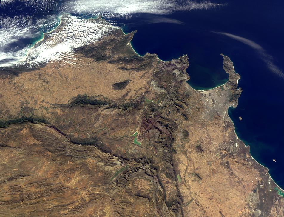
Previously ...
NASA Earth Observatory | MISR | 2011 July 28
Welcome back to another chance to play geographical detective!
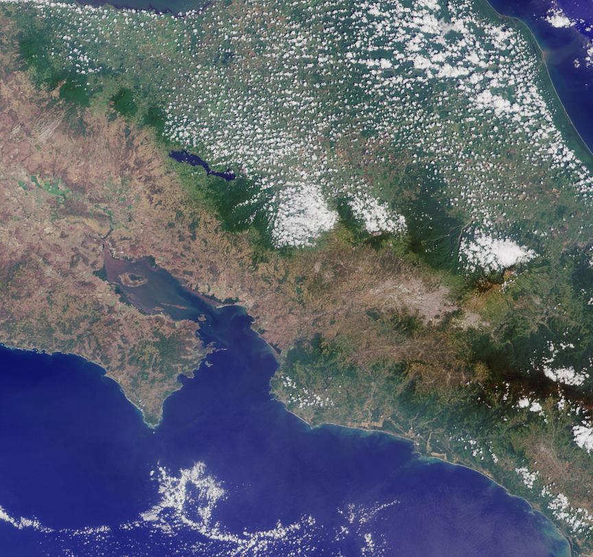
This image was taken by the Multi-angle Imaging SpectroRadiometer (MISR), and represents an area of about 262 kilometers by 200 kilometers. Please note that due North may not be at the top of the page. These questions refer to a landmark, area or province within the pictured region. Please answer the questions below and tell us where on Earth you think the location is. You may use any reference materials you like to answer the quiz. (Acquired: July 4, 2011)
From the statements below, please indicate which are TRUE and which are FALSE.
What location is shown in this image?
- Located within the lower third of the image is a dramatic landmark that has lain dormant for thousands of years.
- The southwest part of the region pictured overlooks a capital city.
- This area was once rich in biodiversity. However, urbanization over the past several decades has reduced the wealth of flora and fauna in the region by nearly 30 percent.
- One of the seven natural wonders of the world lies to the northeast of this region, less than a week away by car.
- The highest point in this region, located near the peninsula shown in the image, was first successfully climbed in the 16th century, according to records.
- The country in which this region is located is home to one of the world’s largest (by volume) rivers.
- On the west coast of the region pictured lies a World Heritage Site surrounded by water.
Image Credit: NASA/GSFC/LaRC/JPL, MISR Team
Text acknowledgement: Amber Jenkins and Karen Yuen, JPL
Previously ...